India 2026/P45 (Roads & Passes & Return)
Place: The political projection of sustainability is diametrically at odds with the 50,000 to 60,000 troops stationed in Ladakh, and when you live on the roof of the world, there is nowhere else to go, forcing a new political reality on traditional ways of living.
Travel notes: the AMS symptoms never quite left me, but came and went as I travelled higher (up to 5,620m at the Khardung La pass*), but never lower than 3,145m for 12 days. Changes in atmospheric pressure was also a significant factor, and spending a night vomiting followed by persistent nose bleeds does not help in photographic preparation! I am not built for altitude, something that actually hits quite hard. I have always lusted for travel to immense mountain-scapes, and to share time with its peoples and cultures but this was a one-off.
Despite this, the trip was a socially & culturally enriching experience, from the Buddhist payers at daybreak to witnessing ladakh's militarisation. This would not have been possible without the knowledge and experience from a local guide who definitely refocused my perceptions!
A cultural exchange project //
Images l/r
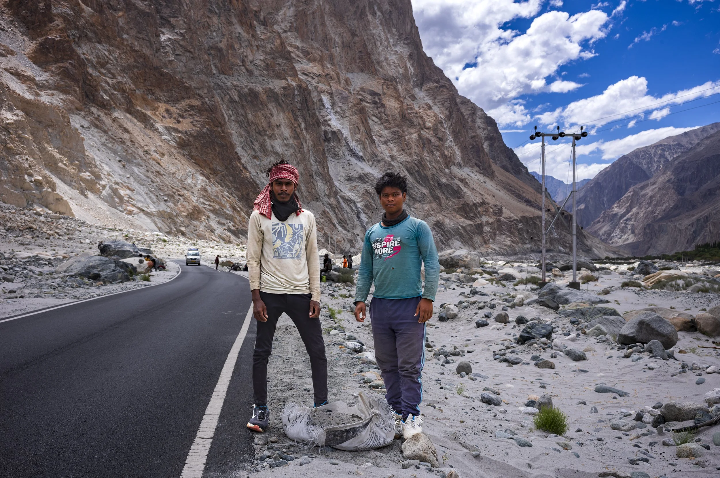
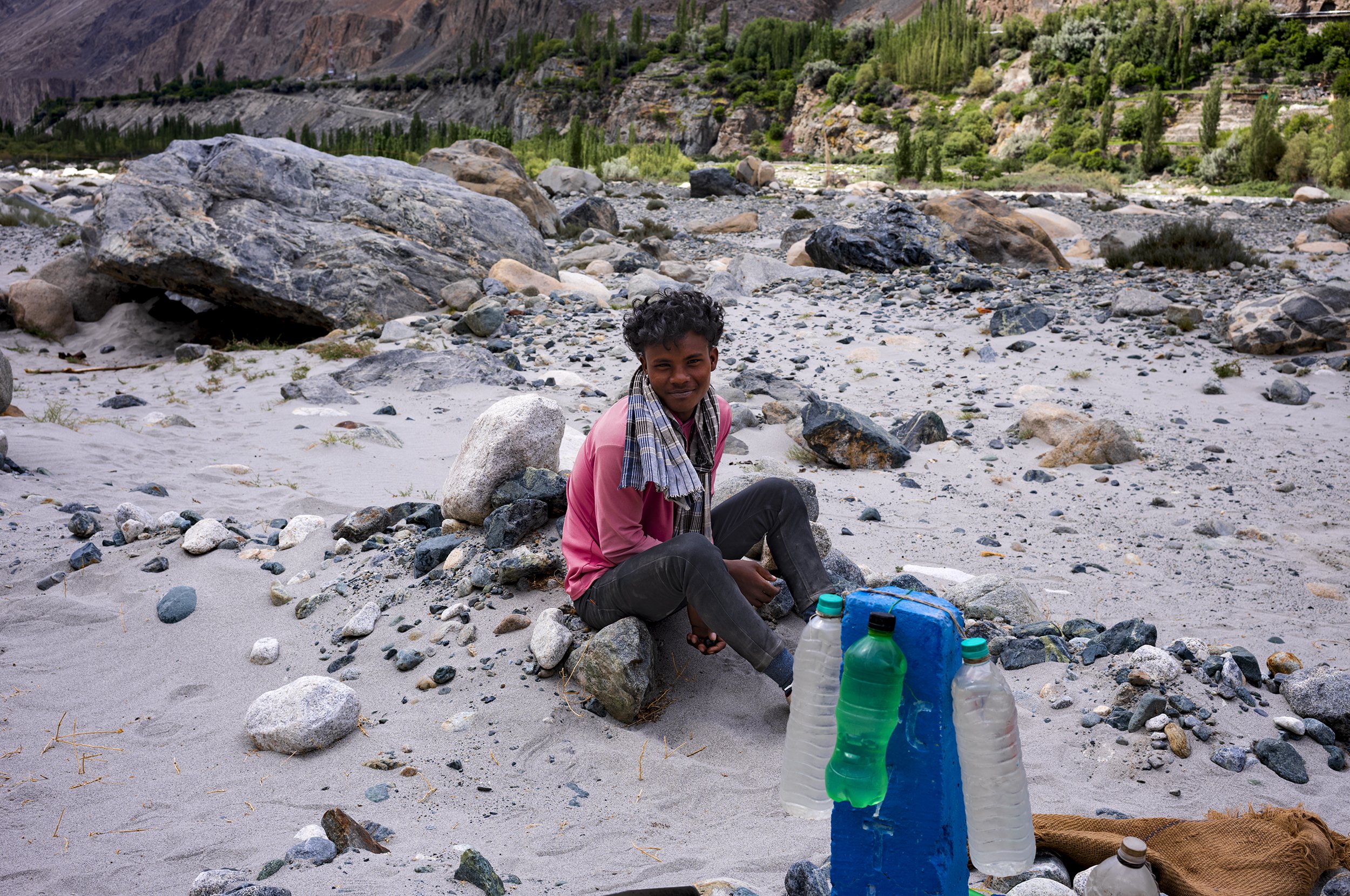
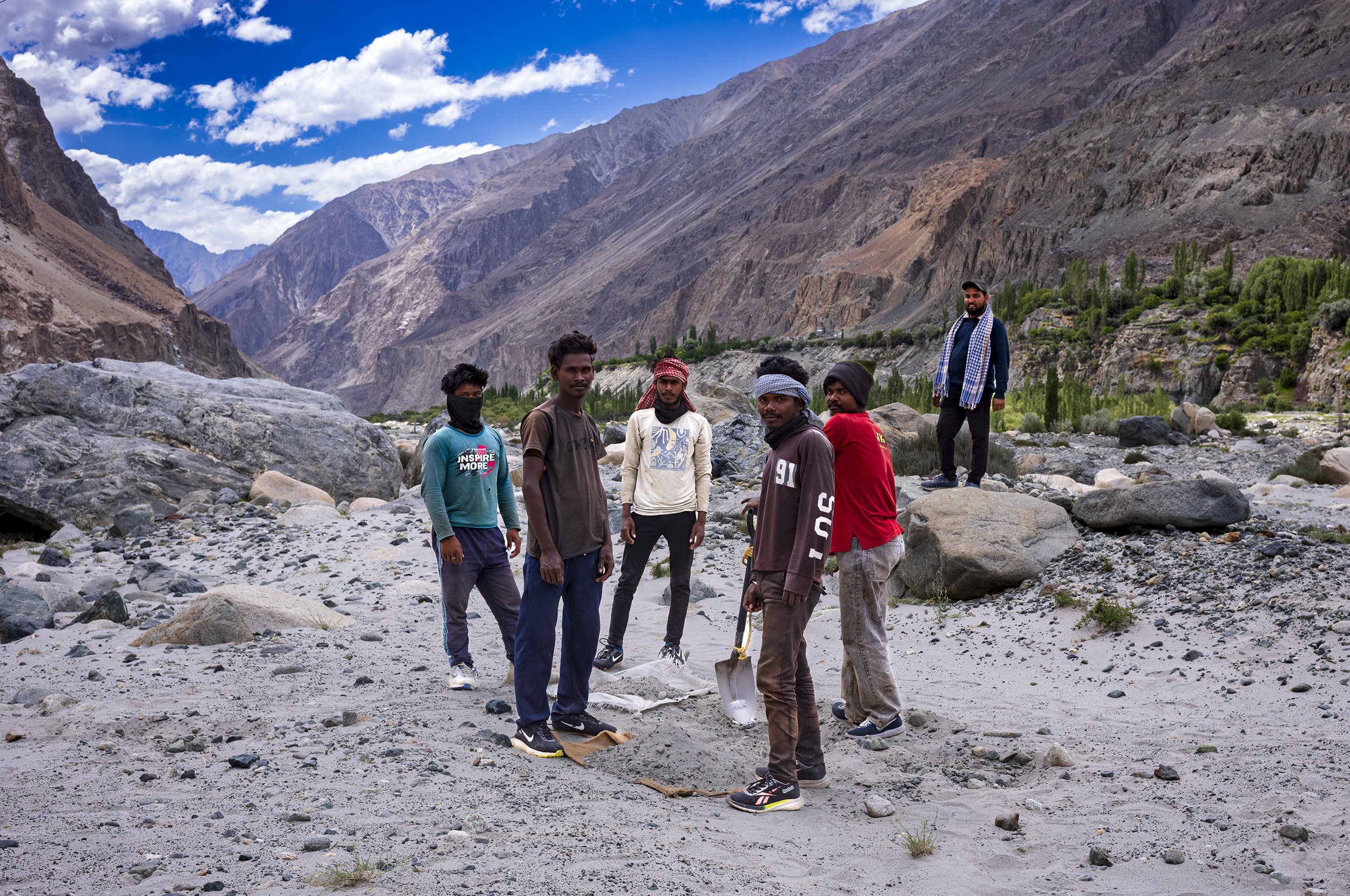
Stopped off to photograph these young lads working for The Border Roads Organisation (BRO), constructing and maintaining high-altitude strategic roads, bridges, and military outposts near the Line of Actual Control (LAC), Ladakh
(BRO)
BRO is the engineering backbone of Ladakh, operating locally through its dedicated task force, Project Himank. They conquer extreme weather to build and maintain the region's vital infrastructure, famously crafting the world's highest motor-able roads and iconic, witty safety signs
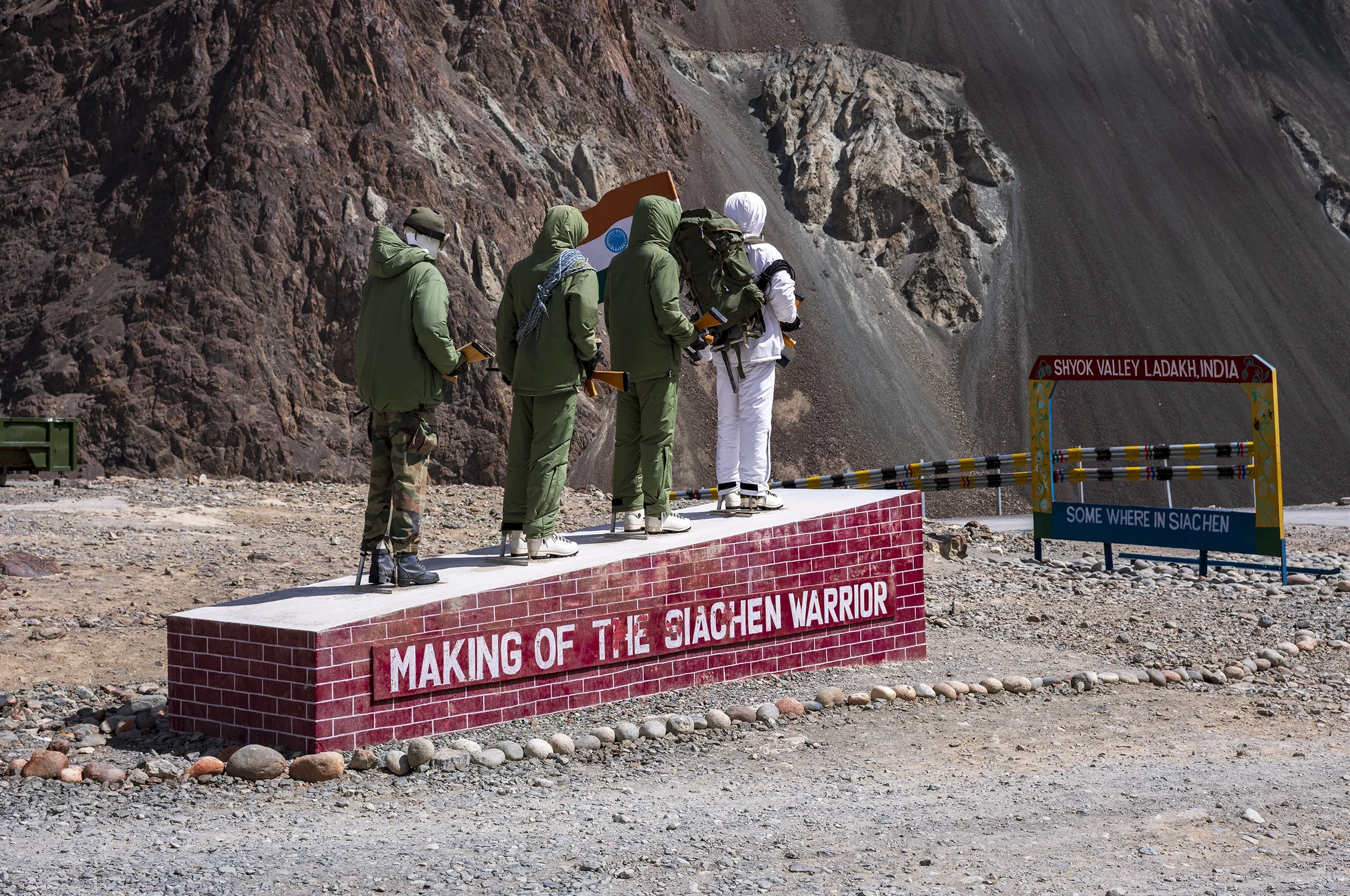
MAKING OF THE SIACHEN WARRIOR, Shyok Valley
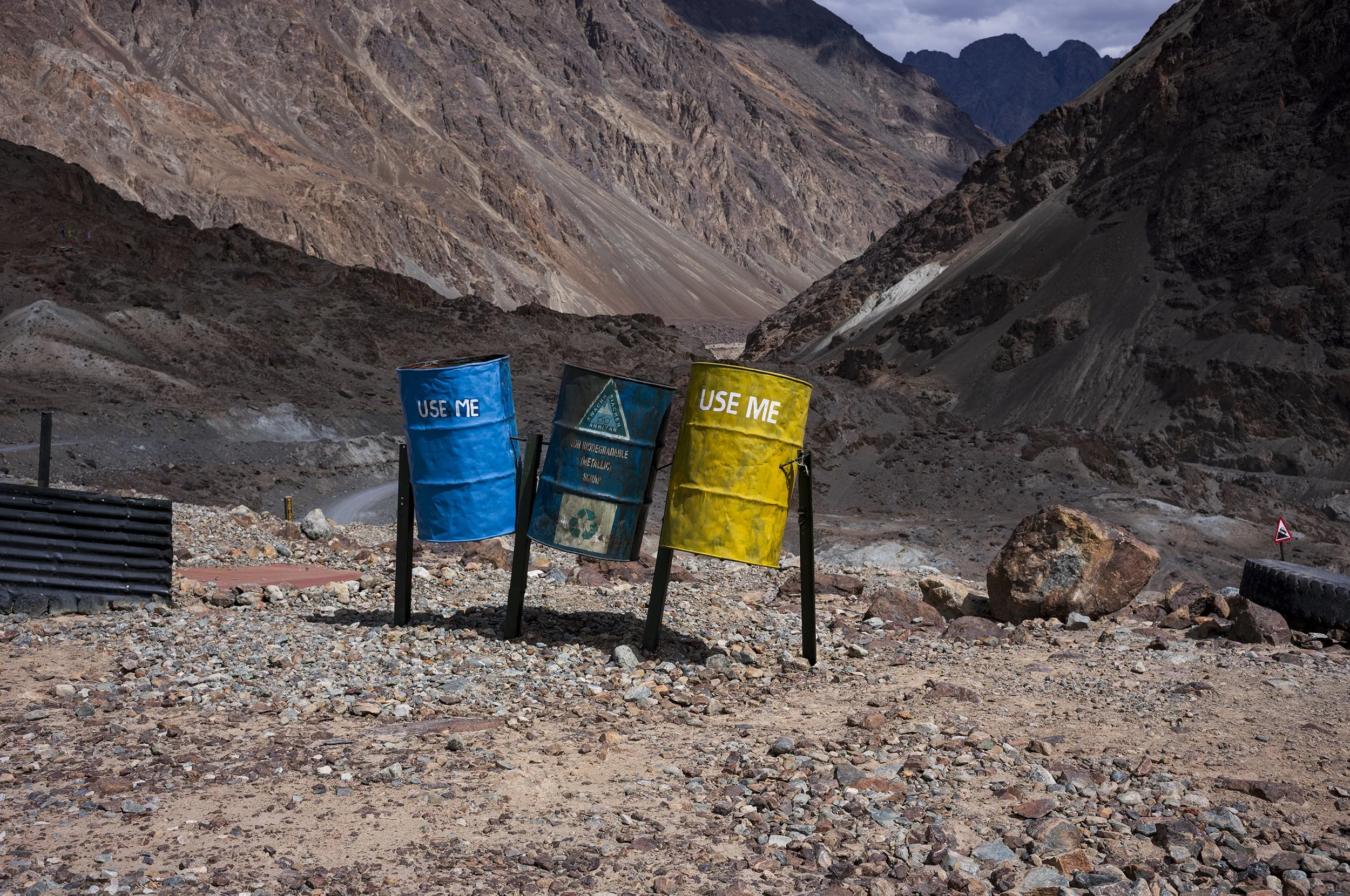
Use Me recycling (the Shyok Valley is primarily surrounded by the Karakoram Range and the Ladakh Range)
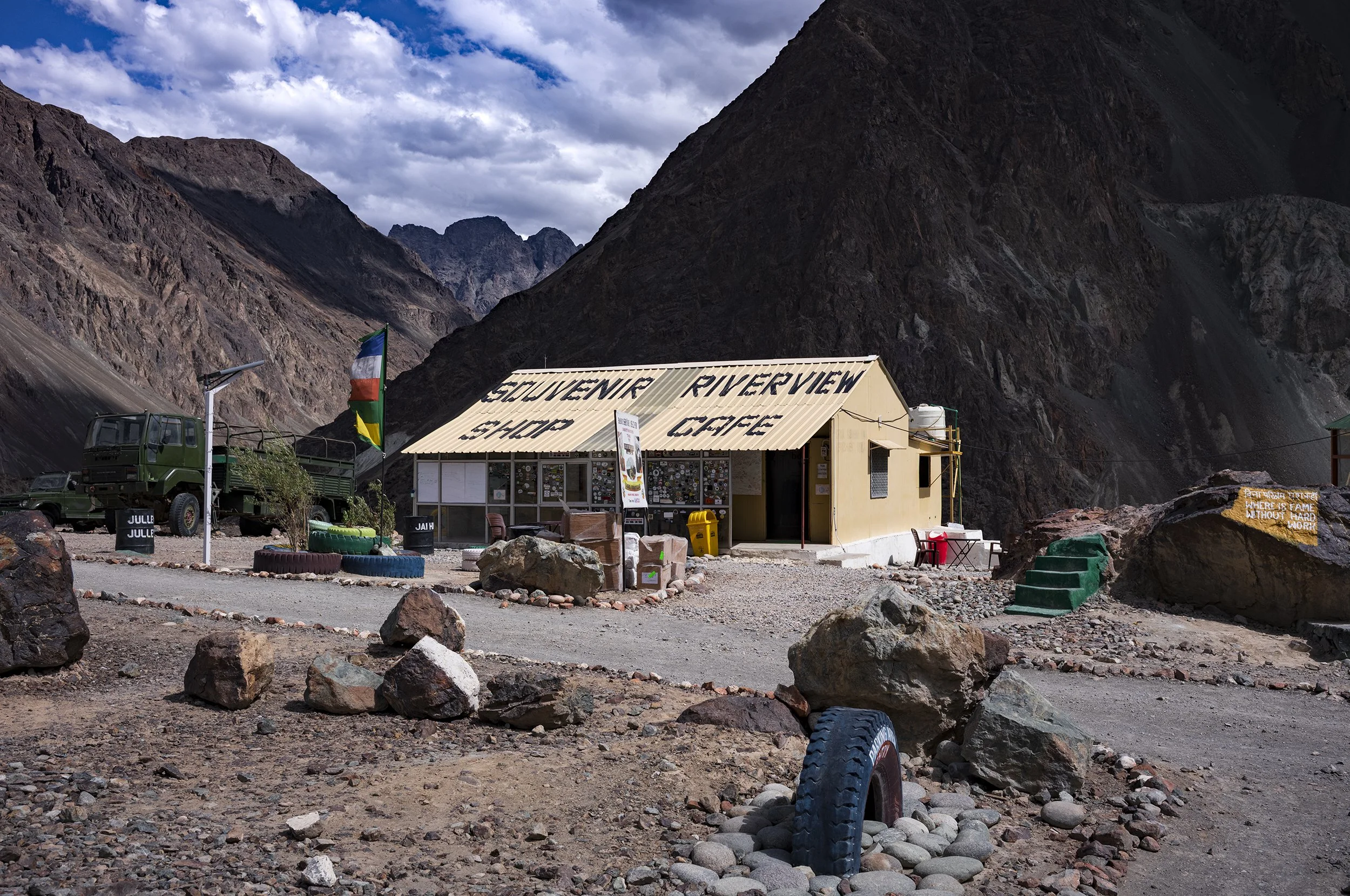
Military souvenir shop & cafe (with a sign stating where is fame without hard work)
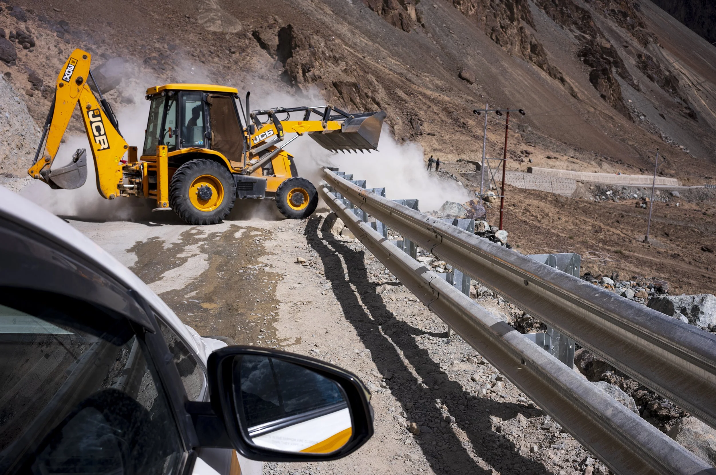
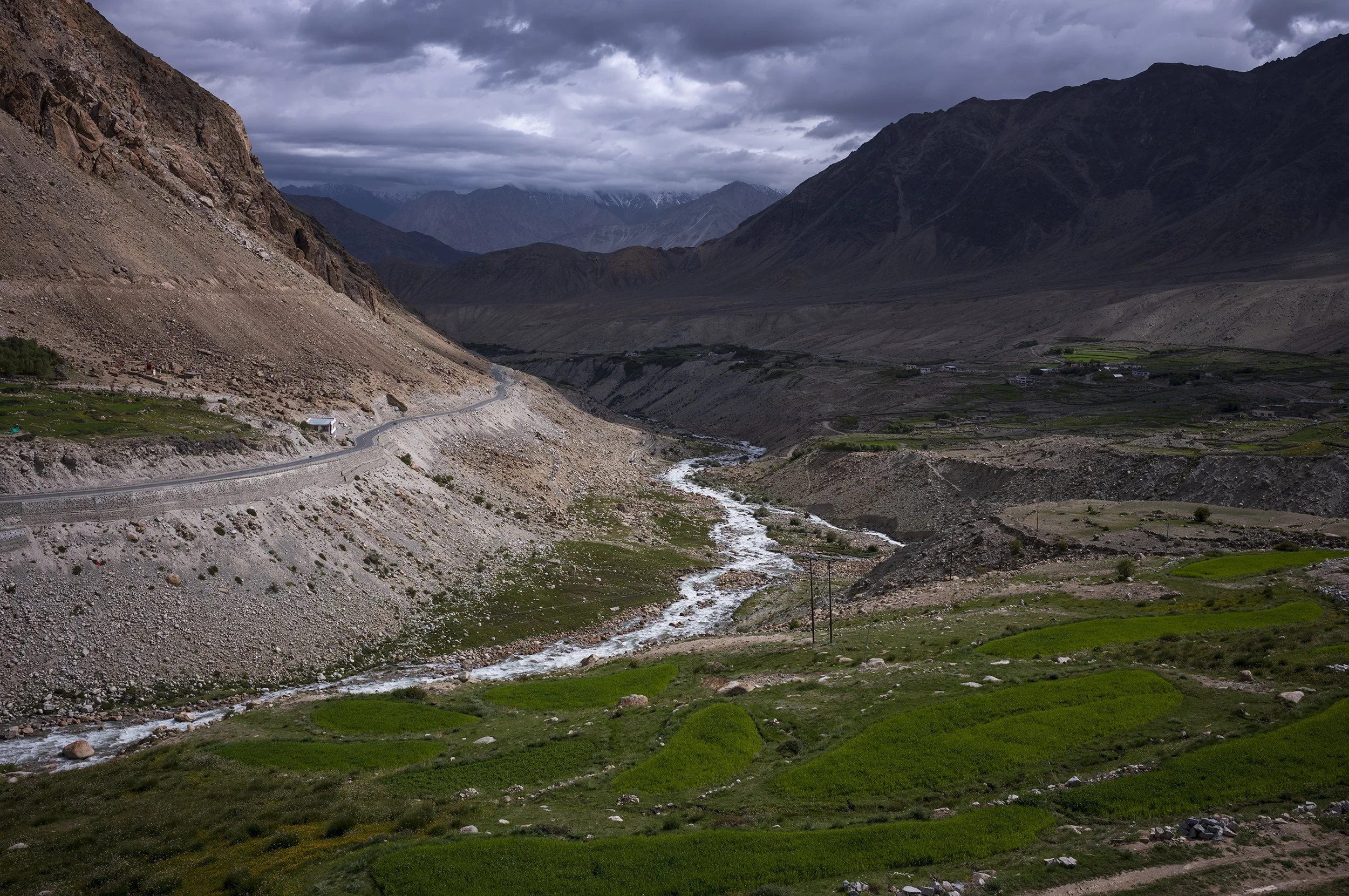
Road to Hunder in yellow & silver
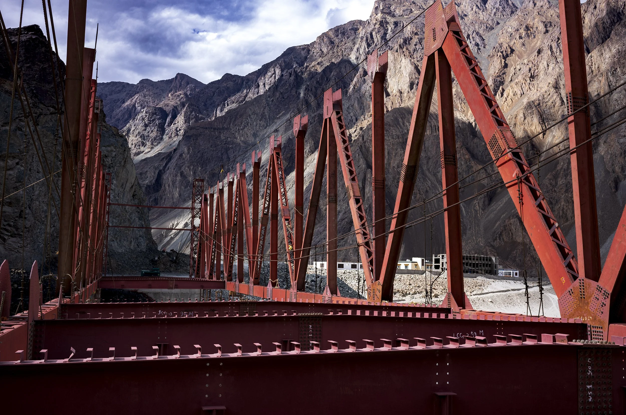
One of many unfinished infrastructure projects
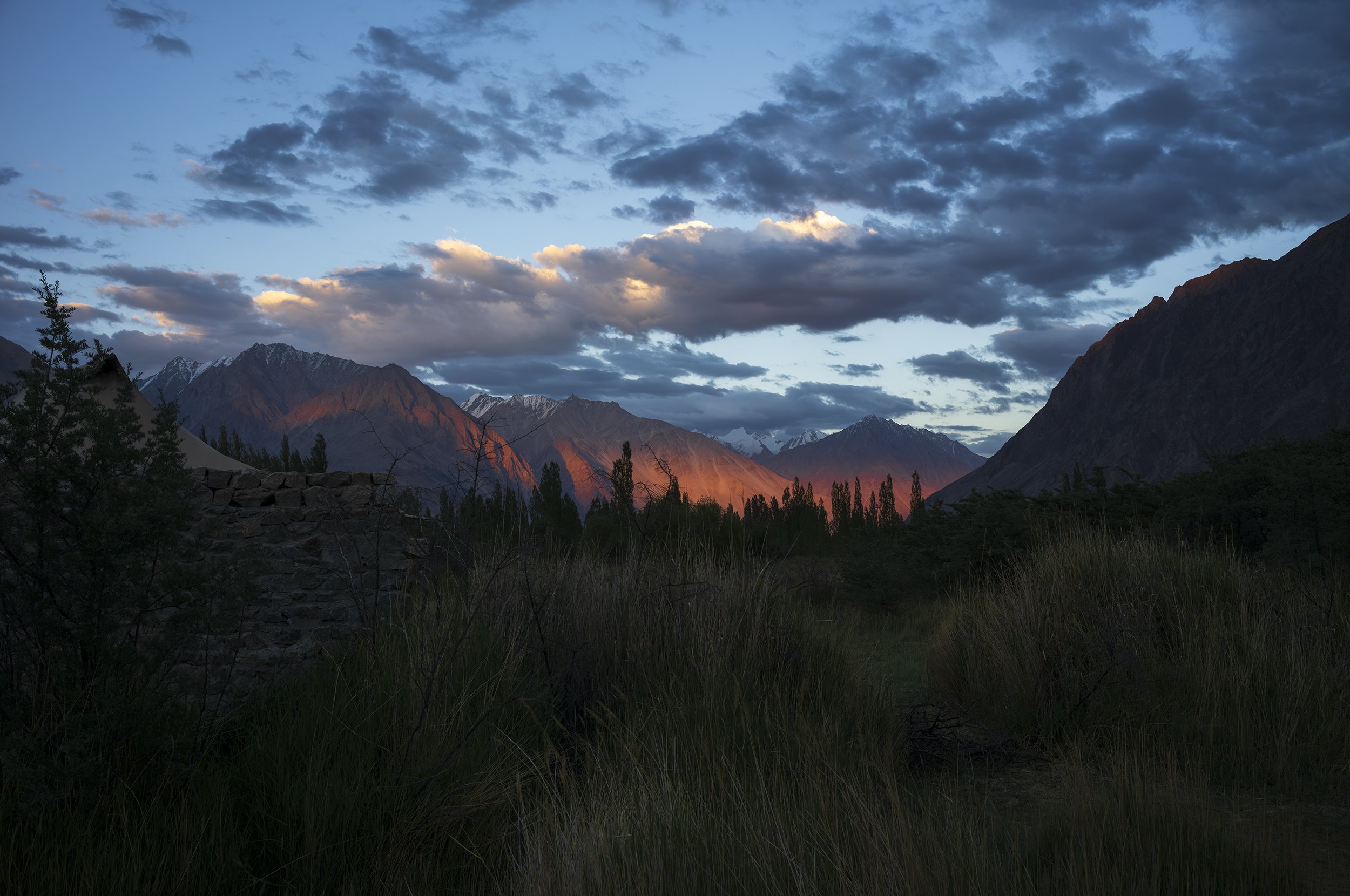
Late sun hitting the Ladakh Range in Diskit, with the Karakoram range in the far distance (but ever so fleeting)
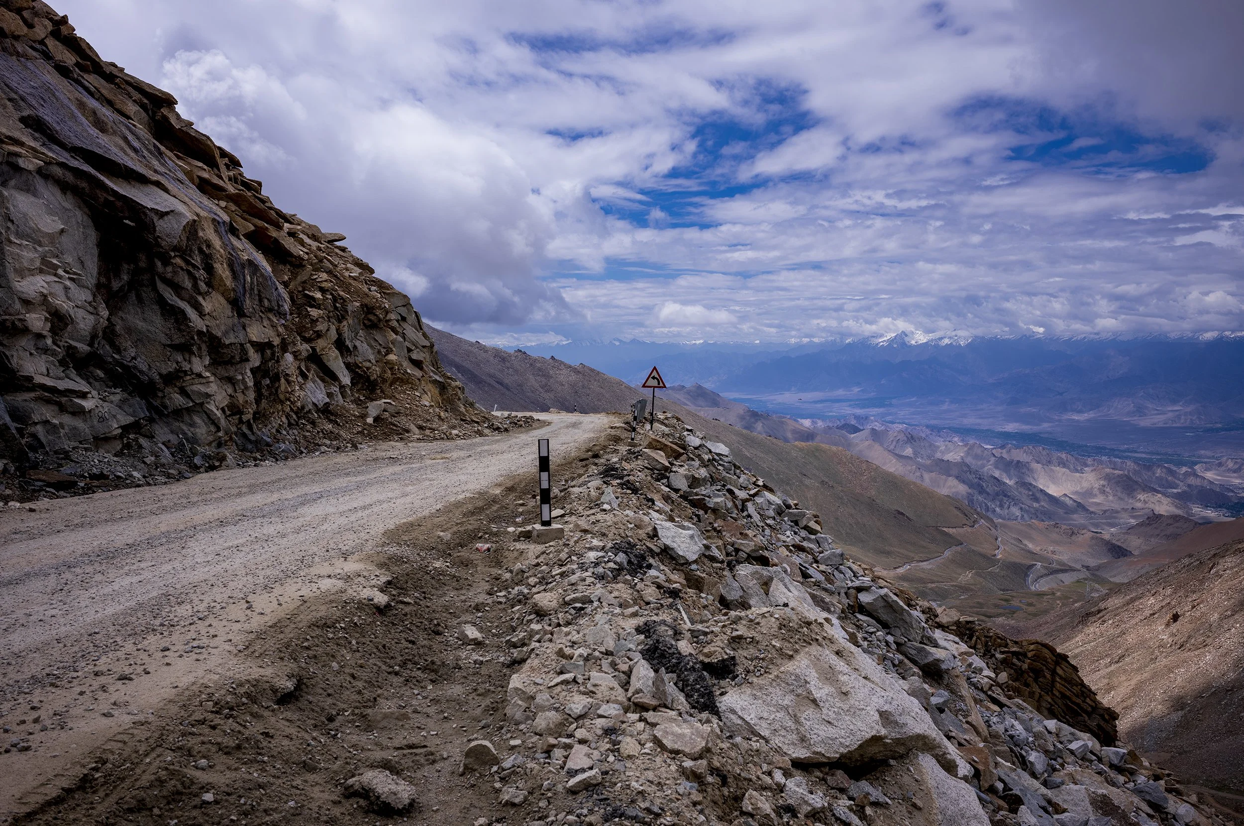
Heading down from the Khardung La pass towards Leh
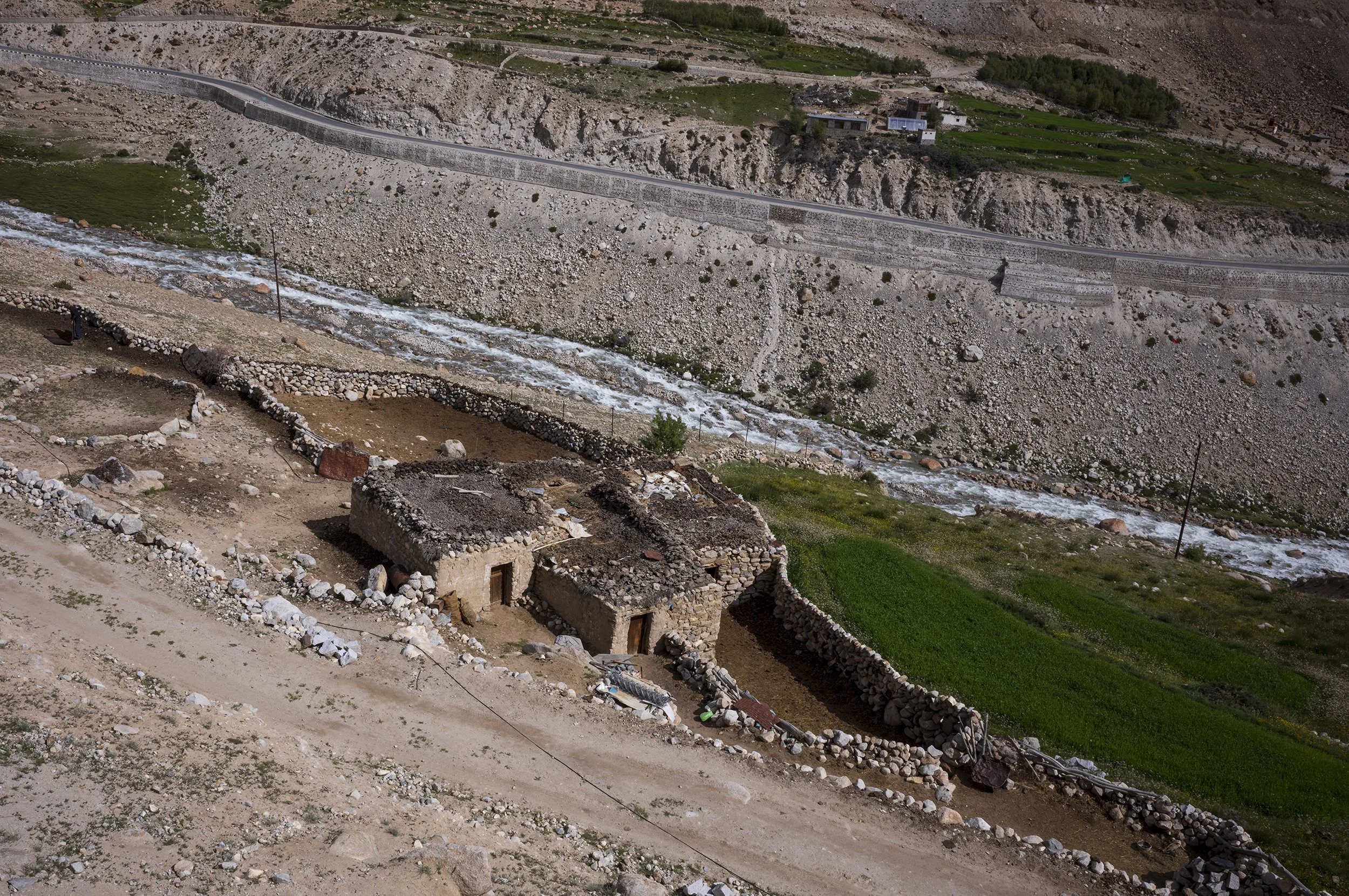
High altitude donkey shelters
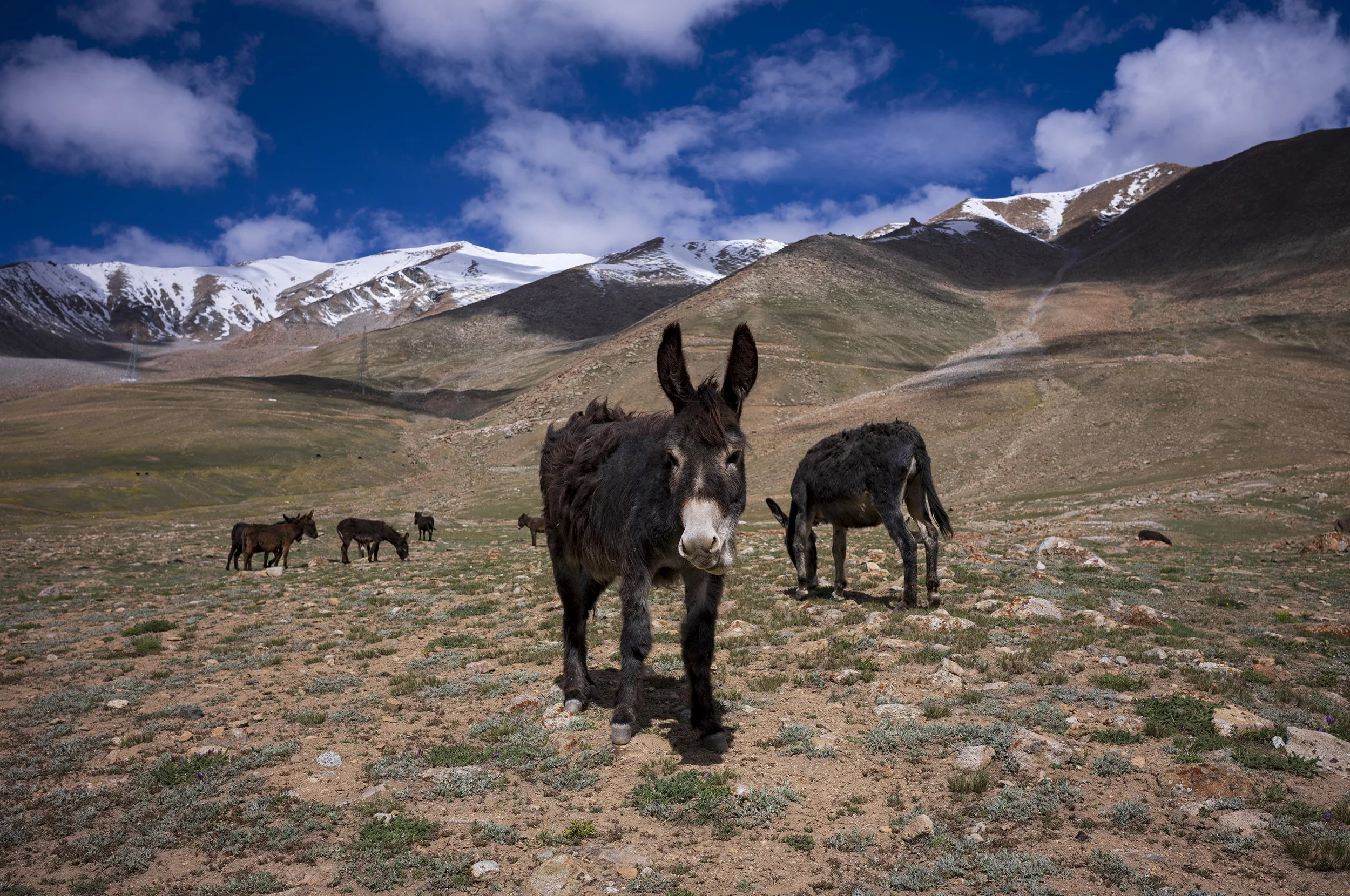
Spotted these fine chaps on route to Khardung la pass, not far off 5,200m
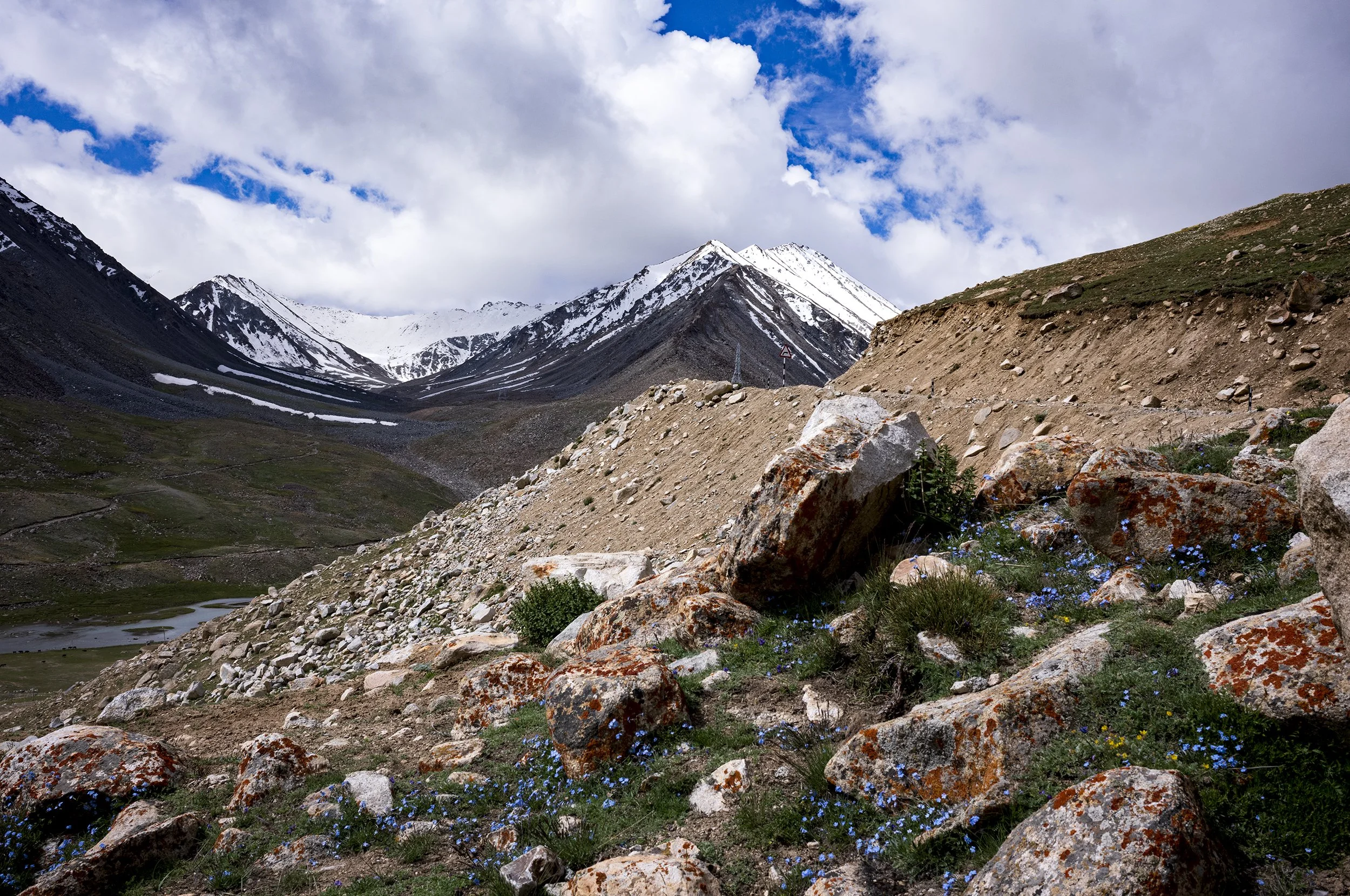
Facing back up to the Khardung La Pass from North Pullu (which sits roughly 13 to 15 km down the northern slope of the Khardung La Pass at an elevation of approximately 4,663m)
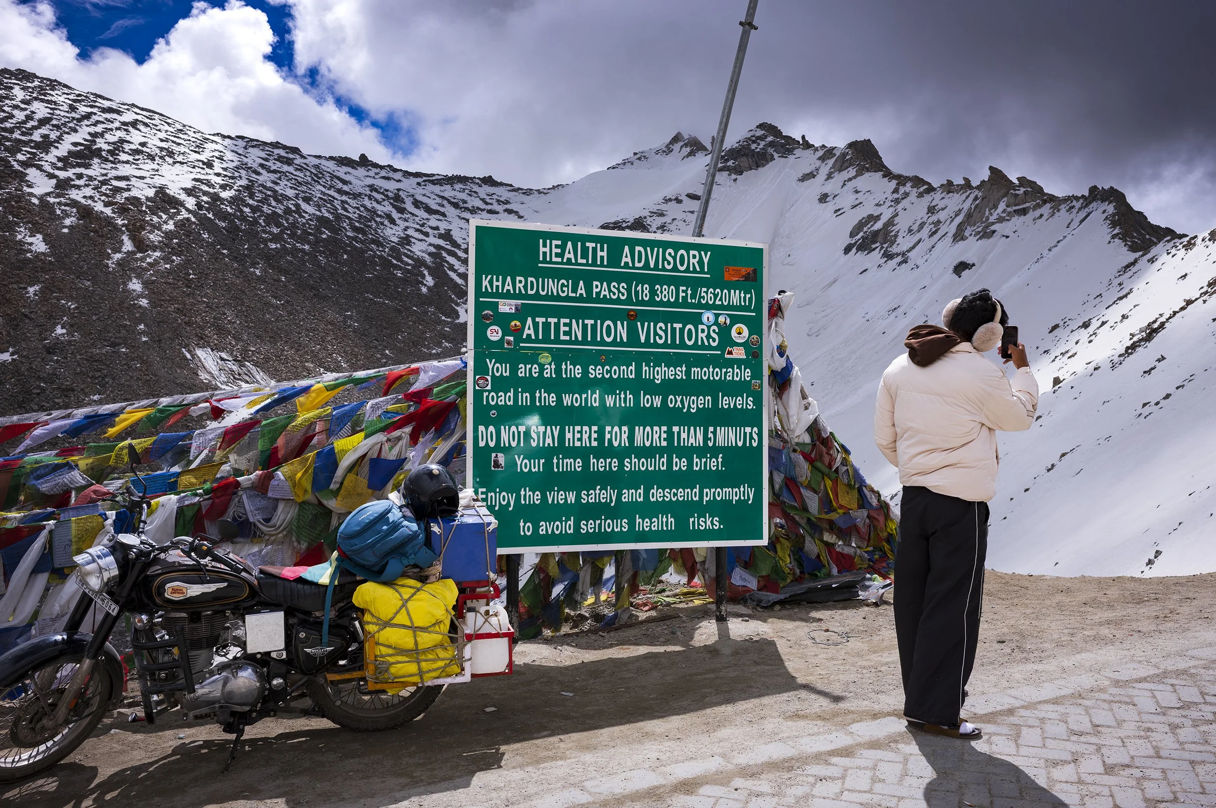
DO NOT STAY HERE FOR MORE THAN 5 MINUTS, Khardung La pass, altitude 5,620m
Heading down from the Khardung La pass back towards Leh, Ladakh
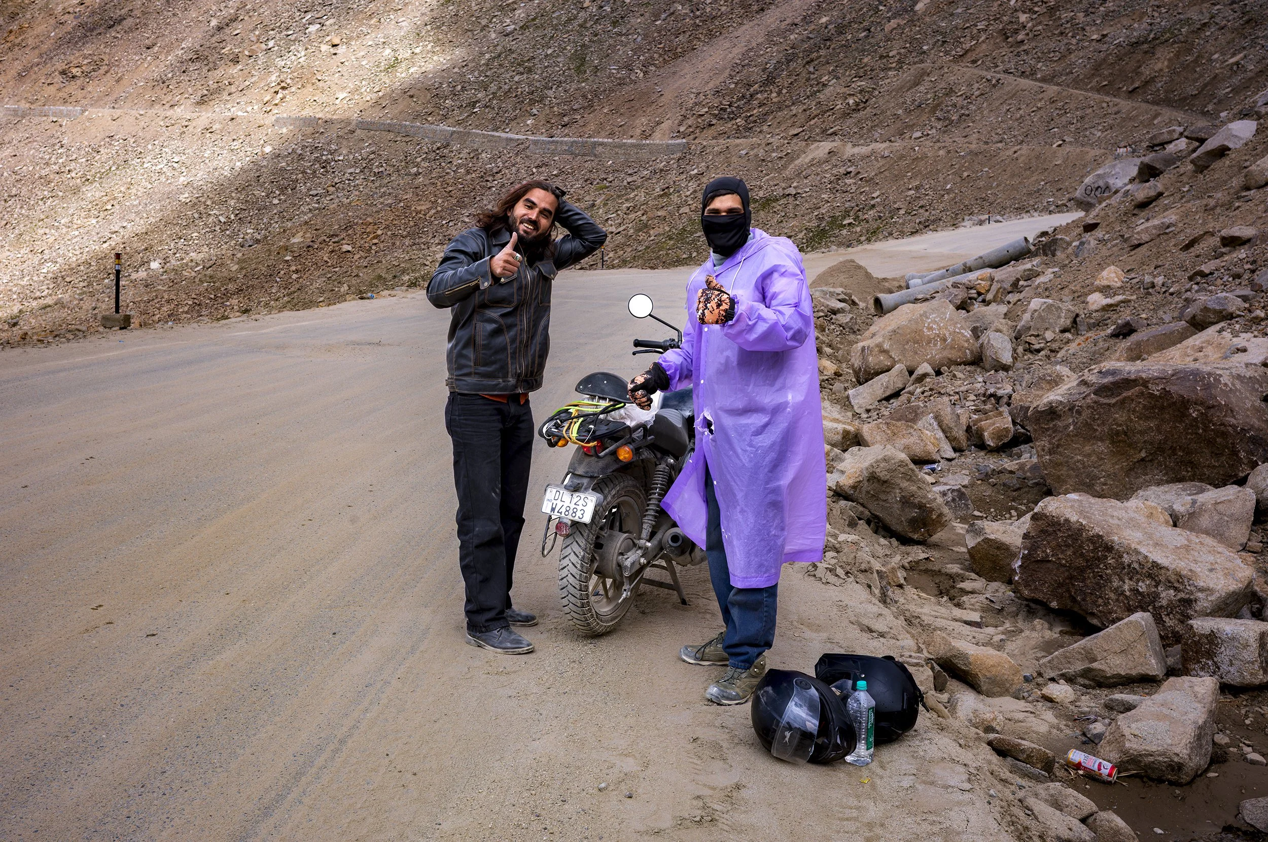
Fellow travellers rescued as their bike broke down
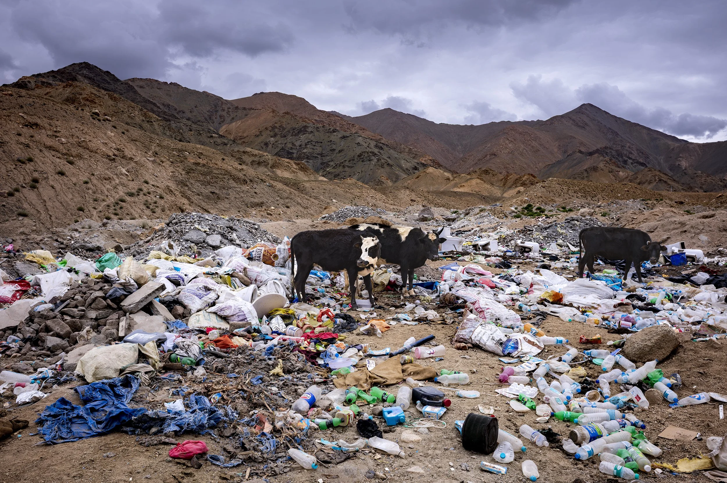
But this is the reality of travel, tourism & development’ - the accepted habit of fly-tipping and casual littering. And this was by the first army checkpoint (Leh side) on route to the ‘scenic’ Khardung La pass! Discharged digger toys, toilets, water bottles and building material, all fodder for domestic cows. Papers please, and chuck your shit over there!
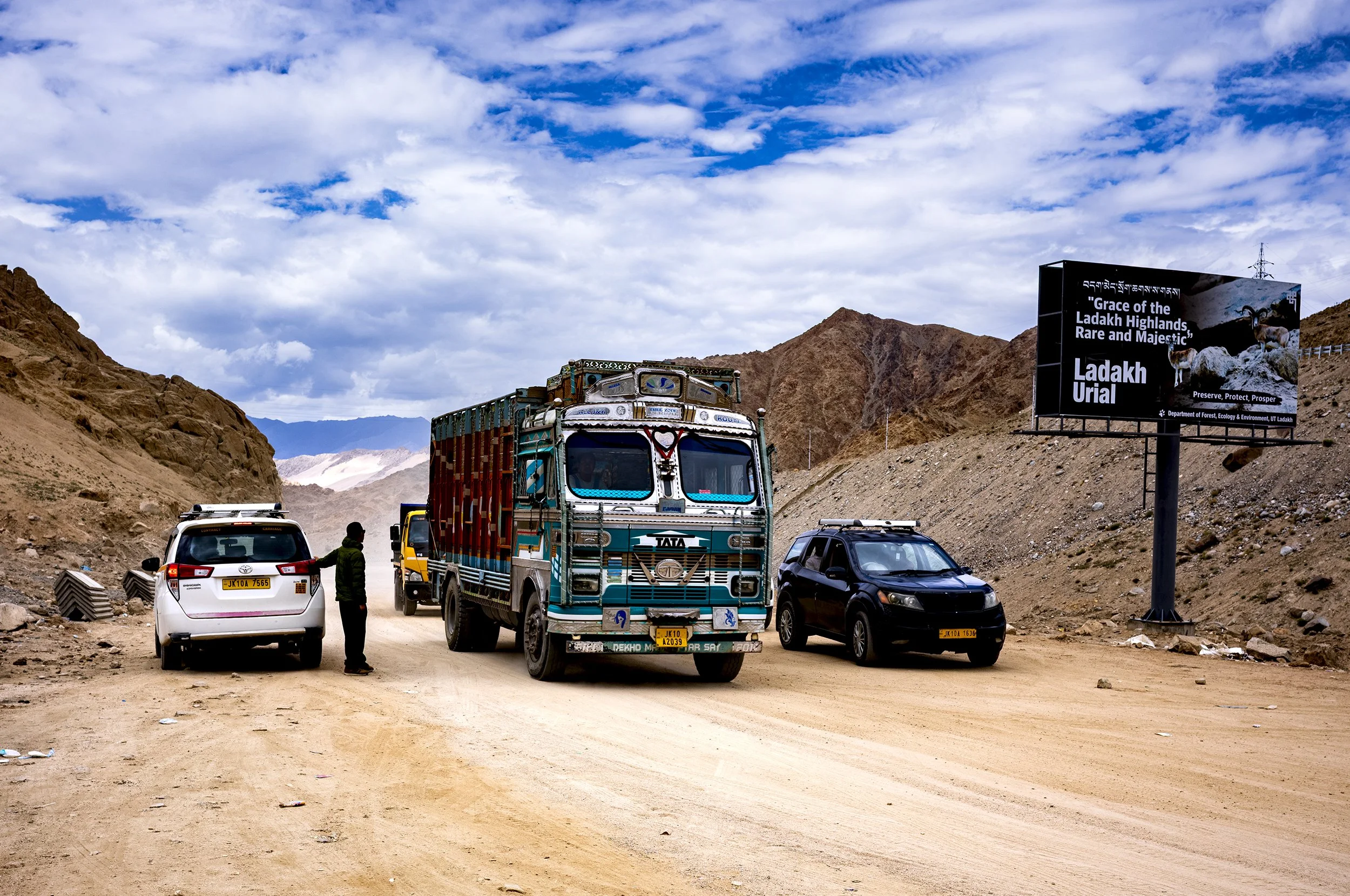
"Grace of the Ladakh Highlands, Rare and Majestic, Ladakh Urial"
*Considered very high/extreme altitude boundary